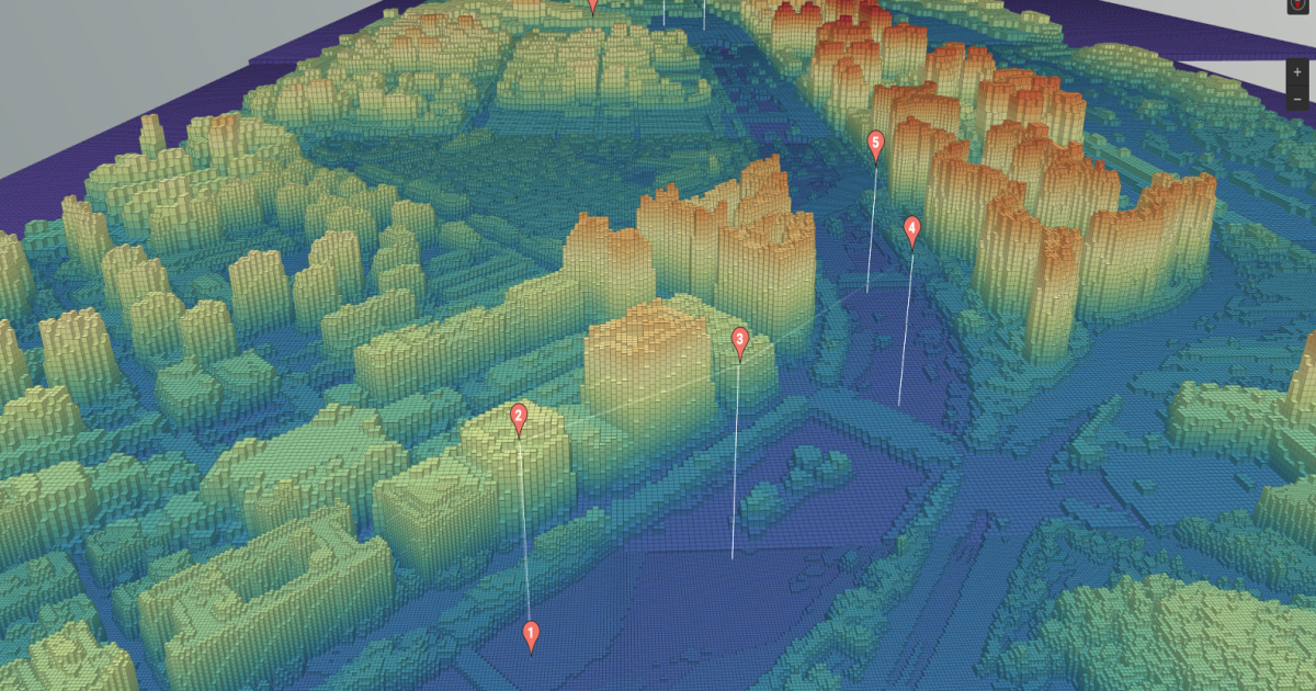
4D Mapping Plots Advanced Air Mobility Routes through Korean City
MintAir and partners have developed a four-dimensional map of Seongnam, a Seoul suburb, to show how uncrewed air vehicles and piloted eVTOL vehicles could safely operate urban and regional flights.